Experience
Inframent
Field-mapping for telecom contractors, 25% faster navigation.
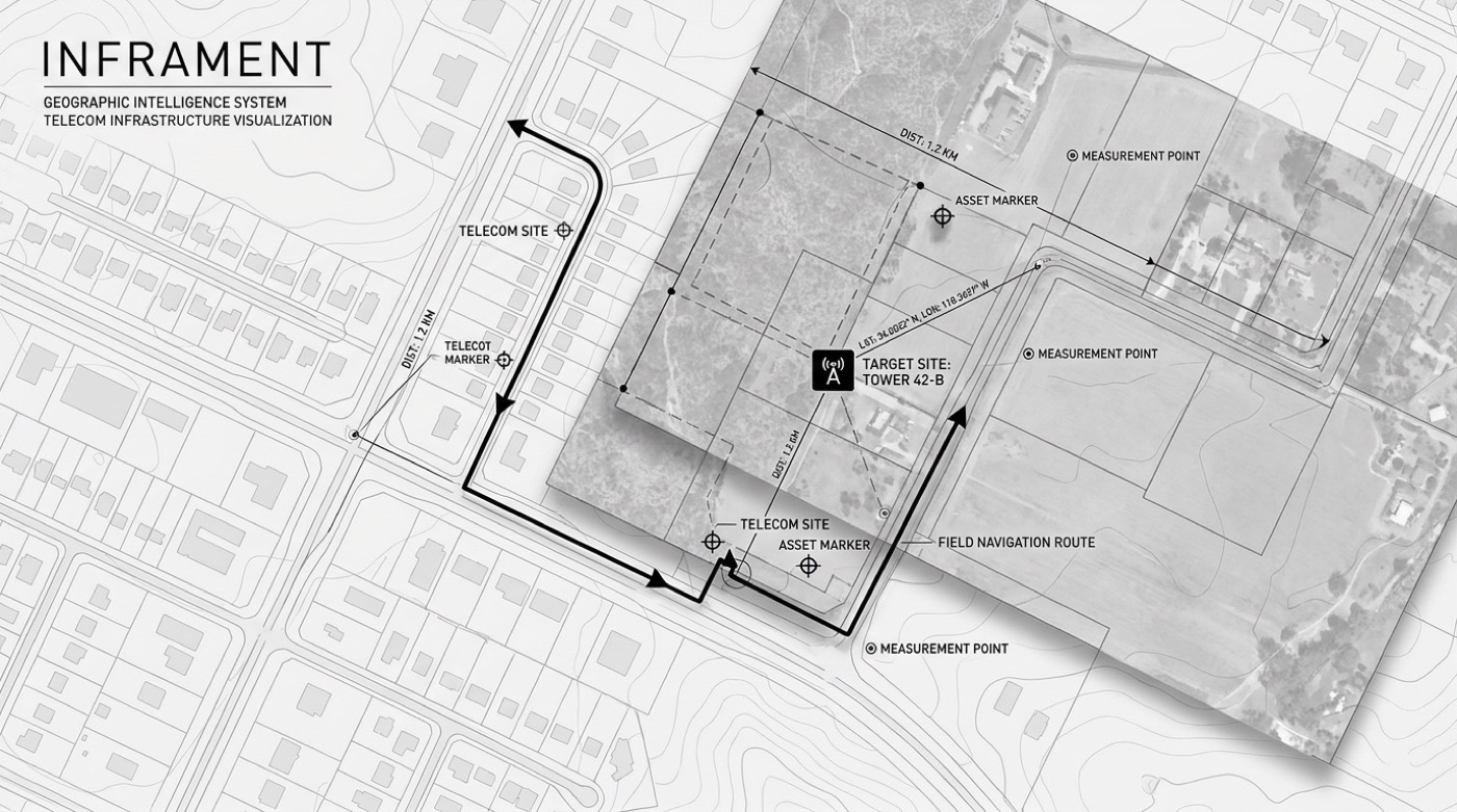
Inframent is a geographic-intelligence tool for telecom contractors, site imagery, asset data, and measurements on one interactive map. I built the frontend, cutting field navigation time by a quarter while enforcing strict per-contractor data isolation.
Role:Frontend Developer
Period:Sep 2023 to May 2024
Location:Netherlands · Remote · ESA BIC
Stack
ReactReact-LeafletMapTilerTypeScript
What I actually built
04 systems shipped and running, the parts that mattered.
Interactive mapping system, MapTiler + React-Leaflet, multi-layer site images, asset data, and measurements.
Cut search/navigation time ~25% through caching and state management.
Multi-tenant auth with strict per-contractor data isolation.
Mobile-first so contractors can pull site data in the field.
Next
Velric
View →